Good to Know
The Trace des Alizés is officially completed in 6 stages, with one stage per day.
The stages vary in length but all represent a full day of walking, making them difficult to double up. Some stages are extremely difficult or even impossible due to a landslide on the road to access the shelter at the end of the 5th stage.
For each stage, the distance and elevation gain use data collected from other sites. The duration and description are based on our experience of the GR in February 2024.
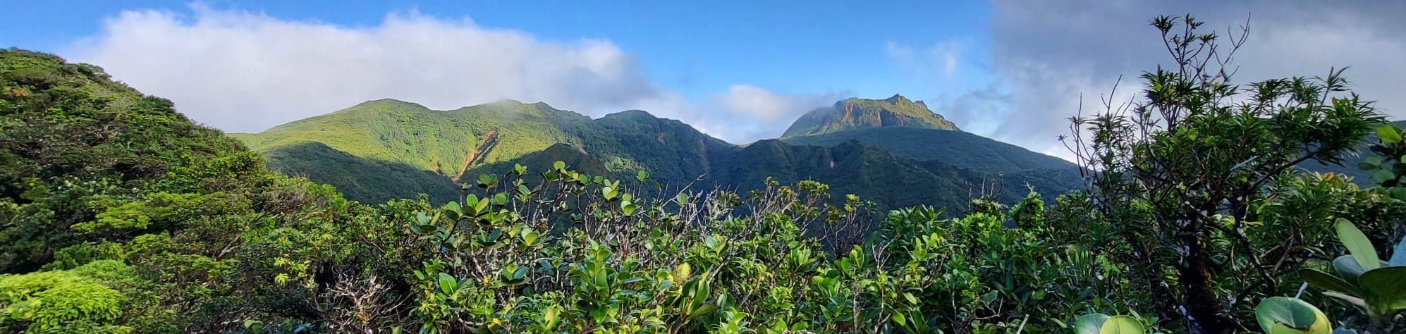
Trace des Alizés Stage by Stage
Discover the different stages of the route below. Click on the name of a stage to access its detailed description.
👉 1. Les Amandiers - Belle Hôtesse
14.5 km | 750m elevation gain | ~5h30
This is the first stage starting from Les Amandiers Beach and ending at the Belle Hôtesse shelter. The first kilometers are on the road and the last through the tropical forest.
👉 2. Belle Hôtesse - Morne Léger
12.5 km | 650m elevation gain and 800m descent | ~8h
This is the second stage, from the Belle Hôtesse shelter to the Morne Léger shelter. This stage is particularly muddy if the weather is rainy, fortunately, the canopy protects from the rain.
👉 3. Morne Léger - Les Trois Crêtes
11 km | 750m elevation gain and 400m descent | ~7h
This is the third stage, from the Morne Léger shelter to the Les Trois Crêtes shelter. The stage starts gently and ends with the daunting Piton de Bouillante. The path starts to degrade in the middle of this stage.
👉 4. Les Trois Crêtes - Morne Incapable or Frébault
6km | 300m elevation gain and 450m descent | ~8h
This is the fourth stage, from the Les Trois Crêtes shelter to the Morne Incapable shelter. The distance is short but it's the steepest stage and the path is in very poor condition, not to be underestimated.
👉 5. Morne Incapable or Frébault - La Citerne
15km | 650m elevation gain and 1000m descent | ~14h
This is the fifth stage, from the Morne Frébault shelter to the La Citerne shelter. It's the longest and most daunting stage. The path is barely a trace and is particularly difficult to follow. At the end of the route, access to the La Citerne Shelter is impossible due to a landslide.
👉 6. La Citerne - Phare de Vieux Fort
25km | 900m elevation gain and 1600m descent | ?h
This is the last stage, from the La Citerne shelter to the Vieux Fort lighthouse. Since the La Citerne shelter is not reachable from the previous stage, a new route might need to be imagined, possibly passing through the Bains Jaunes.