Description
Although the distance may seem short on the map, and despite an official duration announced as 4 hours, the real experience of this stage holds some surprises.
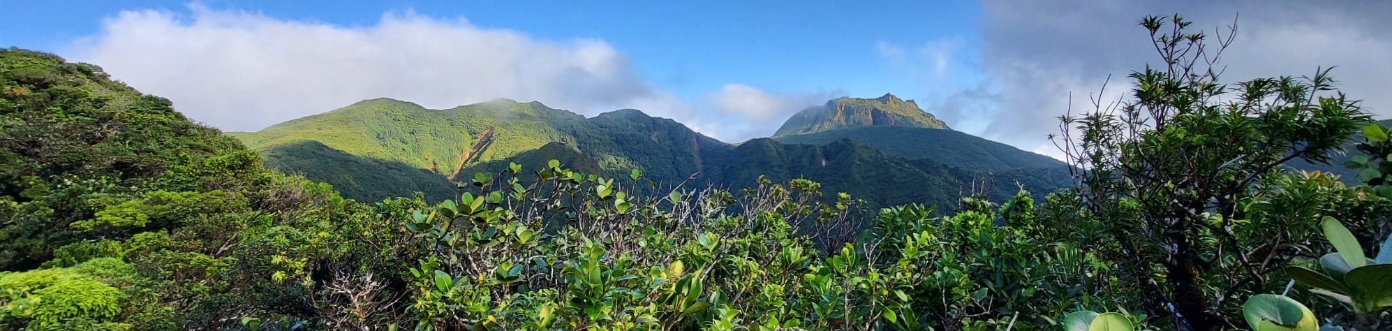
The day starts with a demanding climb towards Morne Merwart. The descent that follows is even more challenging, characterized by its steepness and particularly slippery sections. Fortunately, roots and branches offer welcome support to navigate these tricky passages.
Next comes a second climb, less steep and easier, though progressing through dense bushes on the ridges can be complex. Special vigilance is needed to avoid the numerous holes hidden by vegetation on the trail.
The path reaches an important crossroad with the Crête Lézarde trail. According to the map, a small stream is located here, allowing for water replenishment. Crossing the river marks the beginning of a new climb, both steep and physically demanding, followed by a long final ascent, less steep, that winds through the ridges to the Frébault shelter.
Trail Conditions and Notes
| Criterion | Notes | Description |
|---|---|---|
| Weather | 4/5 | No rain and beautiful clearings. Some clouds linger over some peaks. |
| Mud | 2/5 | A bit of mud. |
| Signage | 1/5 | The signage is almost non-existent, with rare signs at intersections. Map reading skills and GPS use are indispensable. |
| Trail Quality | 1/5 | The trail is no longer maintained. In the forest, you must pass between trees on numerous occasions. On the ridges, you progress on a tiny trail by pushing through bushes that block the path. |
| Technical Passages | 3/5 | Quite a physical climb up to Morne Merwart. Very steep descent, potentially dangerous, one must cling to vegetation to aid the descent. Many holes on the ridge trails. |
| Type of Terrain | 2/5 | Poorly maintained trails in the forest during the climb and descent of the Mornes, with passages through dense bushes on the ridges. |